
Maps do more than point the way. They tell stories, some utterly captivating in their intricate web of historical fact and fantasy. Spanish conquistadors spun maps into myths of El Dorado, the imaginary city of gold. In the West, explorers went in search of the imaginary kingdom of Quivira.
The first overland expeditions to reach "the Frozen and Pacific Oceans" were led by the Scottish-born Canadian, Alexander Mackenzie: the Arctic in 1789, the Pacific in 1793. This exploit provided a powerful impetus for the United States to establish a presence to counter British territorial claims on the Northwest coast: within a decade, President Thomas Jefferson received Congressional approval to dispatch the Lewis and Clark Expedition.
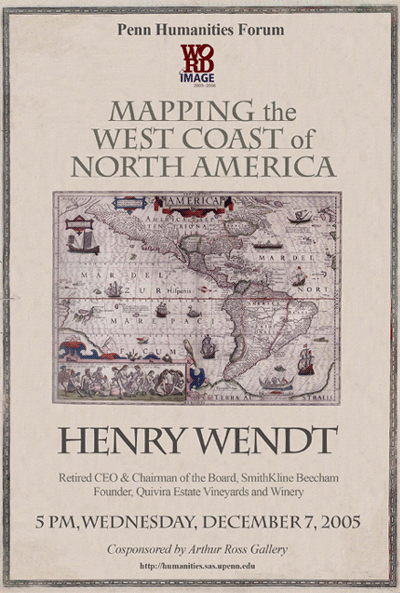
Henry Wendt retraces one of the world’s last regions to be explored and mapped—along the west coast of North America—in search of a maritime route from Europe to Asia and across the continent, before the Lewis and Clark Expedition reached the West Coast two centuries ago, in 1806.
Retired CEO & Chairman of the Board
SmithKline Beecham, Philadelphia
Founder, Quivira Estate Vineyards and Winery